Annecy and the surrounding region are a paradise for hiking enthusiasts. In fact, the diversity of the landscape, the mountains and the magnificent panoramas make it a must for hiking enthusiasts.
Discover the most beautiful trails in this corner of France and go hiking in Annecy in the heart of the Alps ! And to spend the night, book your rentals at our campsite near Annecy!
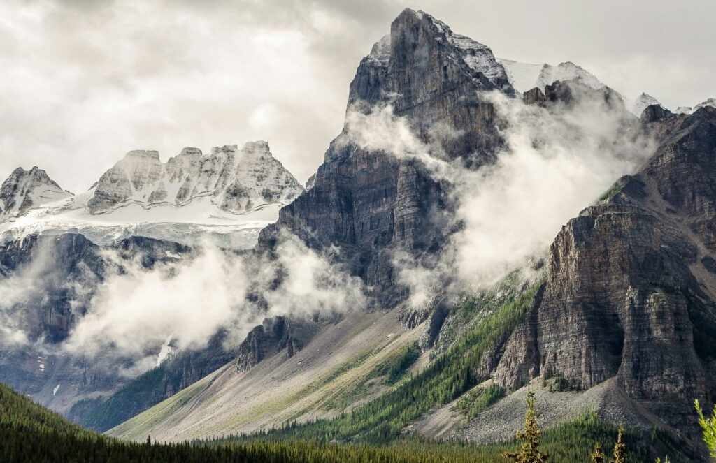
The Parmelan plateau
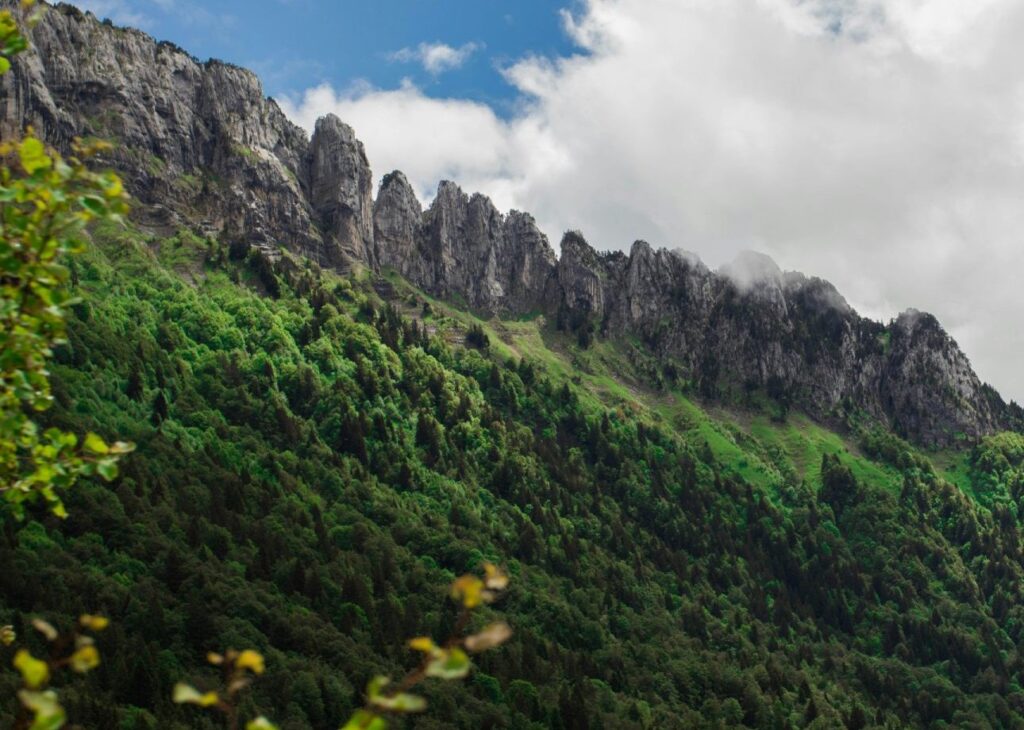
The Parmelan plateau is characterized by an essentially mineral landscape, shaped by tectonic forces and water erosion.
The terrain here is marked by lapiaz, limestone formations offering a spectacle of crevasses and cavities, prized by speleologists for their underground explorations.
The ascent to the summit, the Tête du Parmelan, at 1832 m altitude, can be made via various hiking trails, but the classic route, the best for admiring the geological curiosities of the Parmelan plateau, starts at the Chalet de l’Anglettaz.
This hike near Annecy (20 km) first crosses mountain pastures frequented by local breed cows, before entering a pine forest. You’ll then catch a glimpse of the Grande Glacière cave, which reveals ice formations extending into the depths. Along the way, you’ll also discover the Tour spring, a karstic resurgence.
The landscape gradually opens up, revealing the Glières plateau, the Aravis mountain range and Mont Blanc in the background. You’ll pass through caves, including the Grotte de l’Enfer, and many lapiaz.
Arrival at the Parmelan refuge offers splendid panoramic views of Lake Annecy, the Bauges regional nature park, the Alps, La Tournette and much more.
The descent then begins towards the grand montoir and petit montoir, before returning to the chalet de l’Anglettaz, which brings this hike near Annecy to a close.
Our two campsites near Annecy are just 20 km from the Parmelan plateau. If you book a mobile home or a pitch at one of our campsites, you’ll be ideally placed to set off on this hiking trail!
Practical information about the hike: 4H30 loop – difficulty: intermediate – altitude gain: 380 m
Mount Veyrier
Mont Veyrier, 1291 m high, owes its name to Veyrier du Lac. This Haute-Savoie municipality boasts panoramic views over the lake and plenty of sunshine.
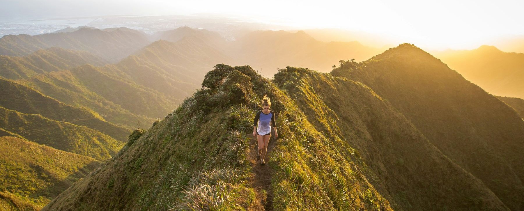
This hiking route is one of the few in the region to start on the shores of Lake Annecy. It’s a demanding hike with a steep gradient, which takes you along a ridge trail offering multiple views of Lake Annecy and the surrounding mountains.
This hike near Annecy and its lake starts at the little port of Annecy-le-Vieux. The ascent is through dense forest, where the path zigzags up to Pré Vernet, with a constant, steep incline. After a sustained ascent, the Pré Vernet offers a welcome resting place and marks a softening of the slope. The hike continues towards the Col des Sauts, where the climb becomes steeper.
The reward for this ascent is the summit of the pass, at 1170 m altitude, where a splendid panorama of Lake Annecy and the surrounding Alpine peaks unfolds.
The hike continues with a traverse of the sentier des crêtes. This trail undulates above the imposing rocky bar overlooking Veyrier du Lac and Lake Annecy, and crosses the highest point of Mont Veyrier at 1291 m and Mont Baron at 1295 m.
After Mont Baron, the path leads to the pitch where the Veyrier du Lac cable car used to arrive. The descent continues towards the Col des Contrebandiers, then enters the forest below Napoleon’s hat.
The end of this hike near Annecy is characterized by charming little paths winding towards Talabar, above the famous Biclop climbing site.
Interested in this hike? Our two campsites just outside Annecy are just 18 km from the starting point of this beautiful hike. So book the night before and/or after your hike to Mont Veyrier!
Practical information about the hike: 5H30 loop – difficulty: difficult – altitude gain: 820 m
The Semnoz mountain pastures
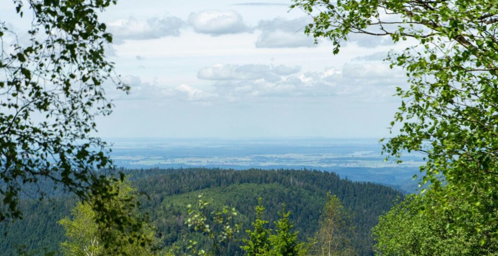
The Semnoz, just half an hour from the center of Annecy, offers one of the most beautiful panoramas in the Northern Alps. In winter, Semnoz is also a popular downhill and Nordic ski resort in Haute-Savoie, popular with Annecy residents. In summer, the snow at Semnoz gives way to grass and mountain flowers. The summit of Semnoz is transformed into splendid mountain pastures.
This hike near Annecy is a loop, starting at the restaurant-hotel Les Rochers blancs. The first ascent leads to the Crêt de Châtillon at 1702 m. The view over much of the Alps and the Jura is exceptional. On a clear day, you can see the Bornes massif, the Aravis range, the Mont-Blanc massif, the Bauges massif, the Beaufortain massif and La Vanoise, not forgetting the Ecrins massif and the Chartreuse massif.
The rest of this hike in the heart of the Alps continues partly on the GR de pays des Bauges towards the chalet de Gruffy. Once you’ve reached Chalet de Gruffy, you’ll have to turn off towards Crêt de l’aigle, one of the Semnoz’s exceptional viewpoints, from which you can contemplate Lac du Bourget.
The hike continues towards the Leschaux chalets. This alpine farm dates back to the late 18th century and is still in operation today. Here you can buy cheese from the Auvergne-Rhône-Alpes region (Reblochon, Tome des Bauges, Abondance…).
This hike near Annecy ends via the courant d’Ère and the Crêt de Châtillon.
Looking for a place to spend the night after a day’s hiking in the Semnoz Alps? Book a mobile home or a pitch at one of our two campsites just 30 km from the start of this hike!
Practical information about the hike: 2H30 loop – difficulty: easy – altitude difference: 150 m